Victorians are facing one of the most dangerous weather days in years with the mercury set to soar into the 40s across the state.
The conditions are being described as “beyond extreme” with the Country Fire Authority chief declaring Victoria’s bush is “ready to burn”.
Parts of the state are expected to soar to 46 degrees today, while Melbourne will have its hottest day in five years.
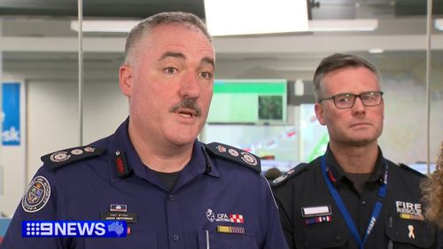
“It will be a nasty day, we need to make sure we are ready,” CFA chief executive Jason Heffernan said.
“The fuel’s been baked, it is dry, [Monday]’s heat and wind mean fuel is even drier.”
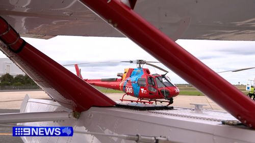
A large air tanker and 54 other planes and helicopters are in position and prepared for one of the worst fire danger days Victoria has seen in years.
Melbourne is forecast to hit 41 degrees, making it the hottest December day since 2019.
Bendigo will be 42 degrees, Yarrawonga 44 degrees, and Mildura and Swan Hill are forecast to hit 46 degrees.
Lightning could start fires, forecasters are warning.
“Also isolated thunderstorm activity developing over western and central parts could result in dry lightning and trigger some fire starts,” Michael Efron from the Bureau of Meteorology said.
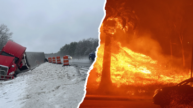
Wildfires to cyclone bomb: Extreme weather hits the US
There will be a total fire ban for most of the state, with an extreme fire danger rating in the central and western districts.
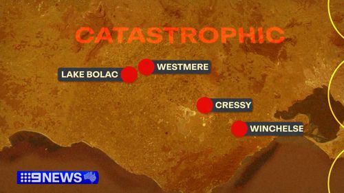
Some farming communities are expected to reach the catastrophic rating, including Lake Bolac, Westmere, Cressy and Winchelsea.
“The fire conditions in those areas will be quite horrendous, those hot dry northerly winds,” Heffernan said.
“The bush is ready to burn.”
Many schools in those areas will be closed and power outages are likely.
The dry conditions are comparable to those before the 2020 Black Summer bushfires, with the added fuel of a late harvest.
People are being urged to clear cutters and prepare properties tonight.
The heat is expected to ease after 8pm in Melbourne, and for those in the east of the state it will hang around until Tuesday.
Residents are being told to use the Vic Emergency app and pay attention to the warnings.
Flash flooding warning for Queensland
The deluge hit suburbs on the south-side, triggering memories of Brisbane’s near-biblical 2022 floods.
Mayor Adrian Schrinner said the ground is already “saturated” from the amount of rain.”
Any short sharp storm can trigger flash flooding,” he said.
A total of 237 millimetres of rain drenches the city in November, which is double the monthly average.
Forecasters warned it’s set to continue.
“The odds are skewed a little bit towards unusually high rainfall this year,” Senior Meteorologist, Steve Hadley said.
Rain will return in Queensland today..
From Mackay down to the Gold Coats some parts could get between 10 and 40 mills per day but the Bureau says some patches in South East Queensland could get up to 70 mills again, while some could get get up to 100.
The ground is already wet, so the flash flooding is a possibility.
The city peaked at 29 degrees on Sunday, and heat will intensify today.
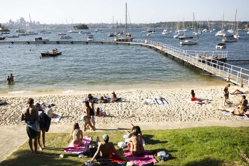
Severe heatwave conditions are expected across the upper western districts.
In Sydney’s west on Monday it’s expected to hit 36 degrees, 29 degrees for the city.
It will be hot and sunny in Canberra, shooting up to 37.
Adelaide will be 38 degrees and cloudy, Perth will be a fine and a much cooler 25 degrees.
